


Kahramanmaraş side (Onikişubat)
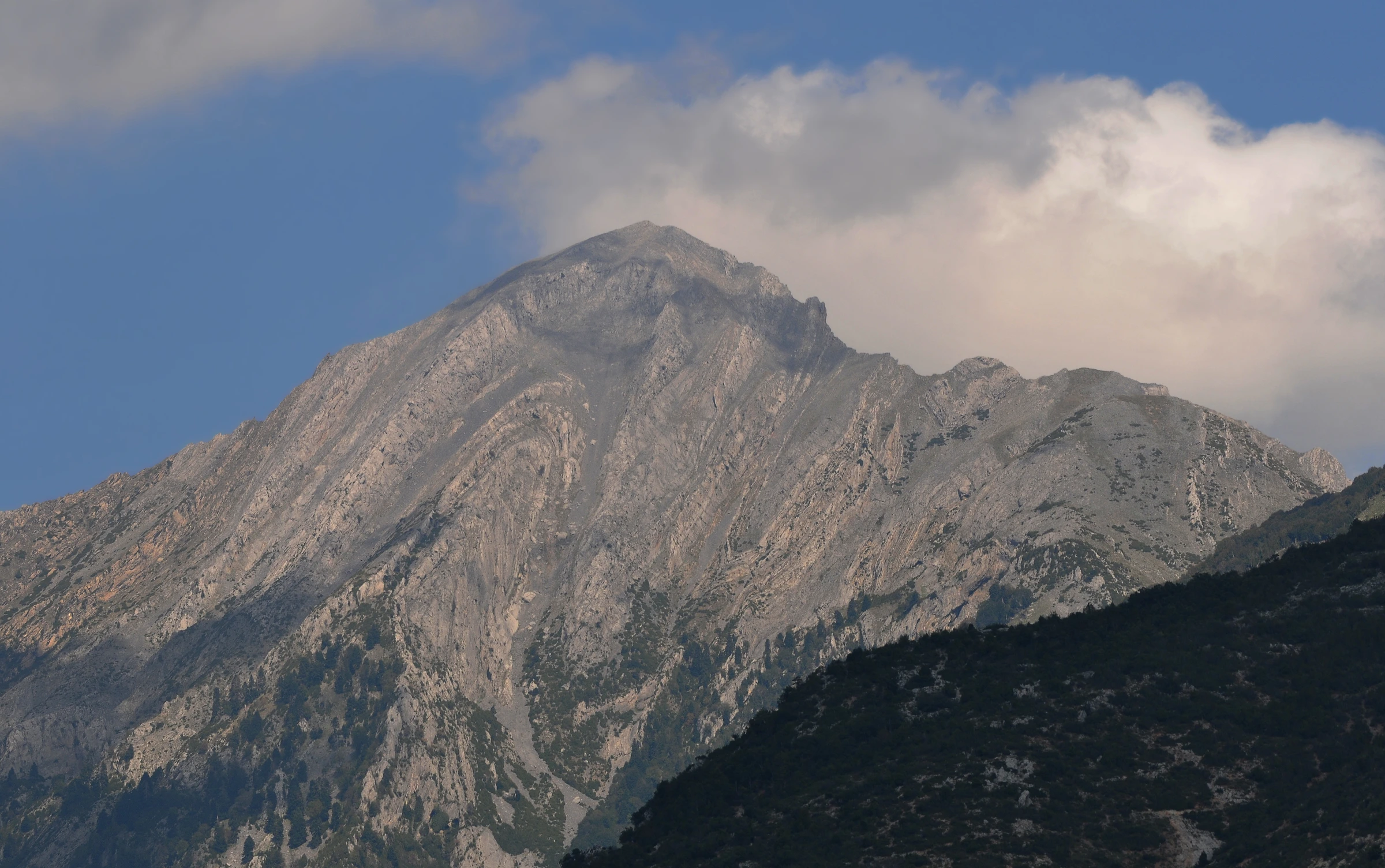
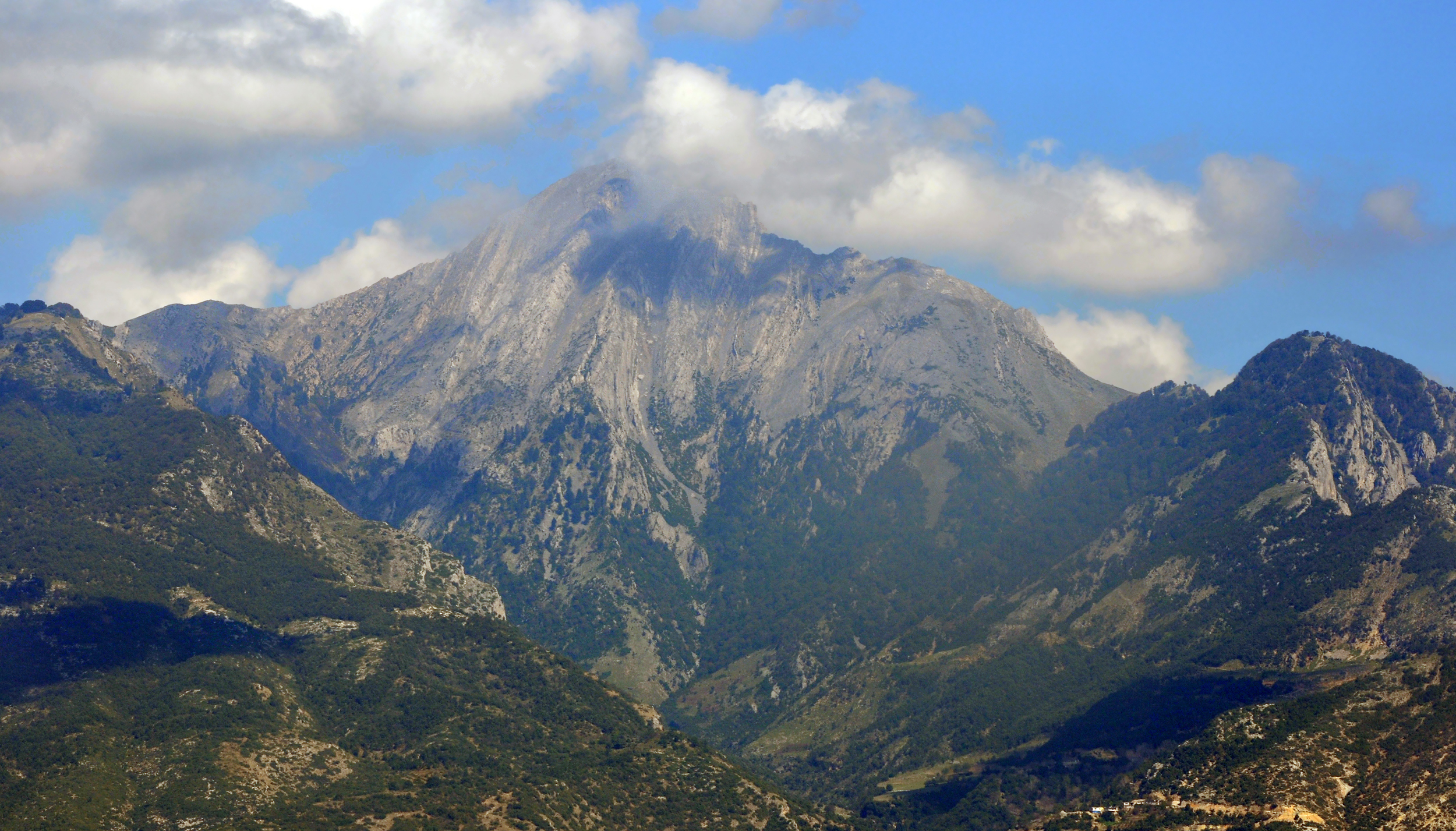
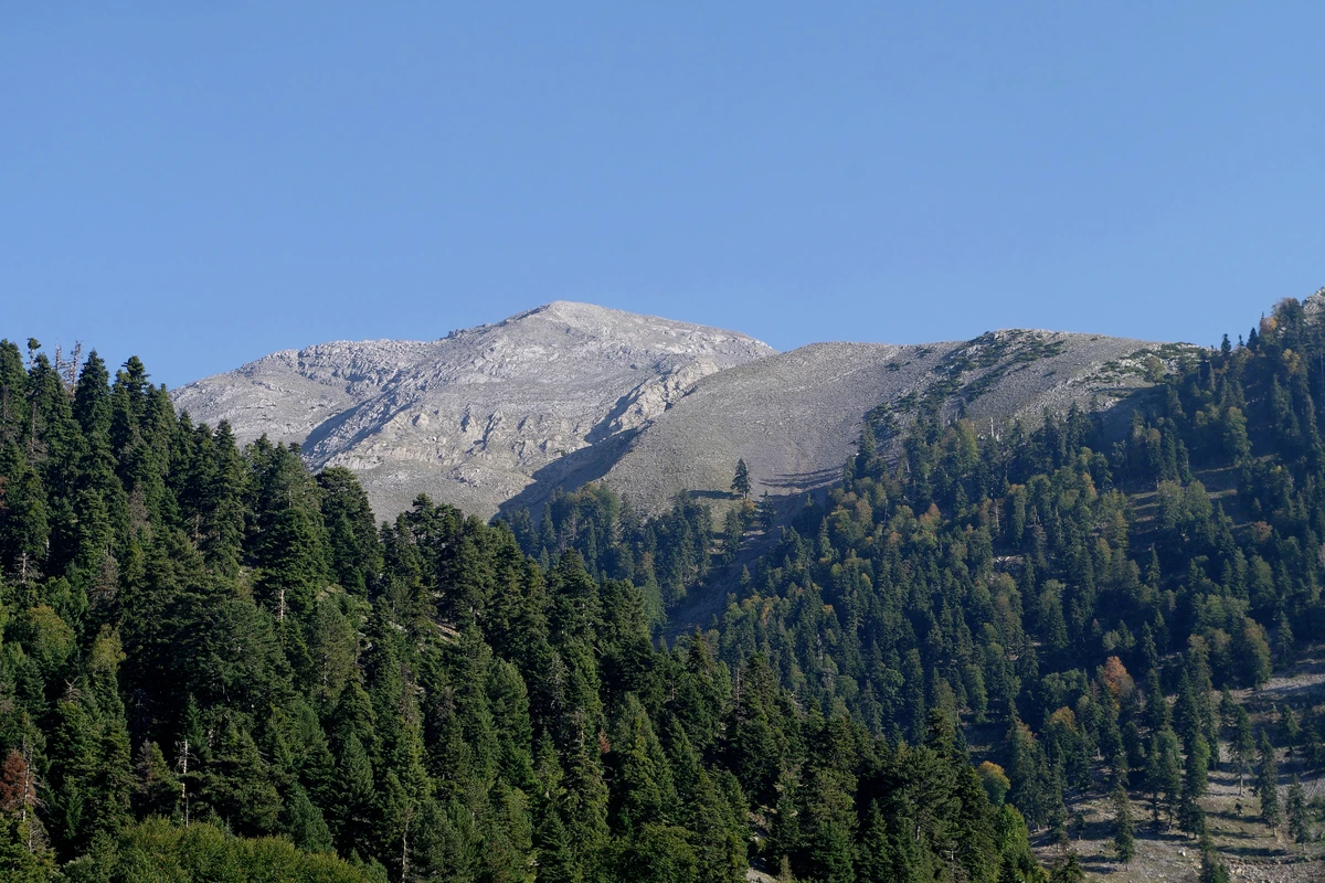
Kaya Düldül, also known as Eğri Düldül, is an important summit at 2,110 metres. It and Toprak Düldül (2,030 m) lie within Çokran neighbourhood in the Onikişubat district of Kahramanmaraş.
 DÜLDÜLD A Ğ I
KAHRAMANMARAŞ / ONİKİŞUBAT
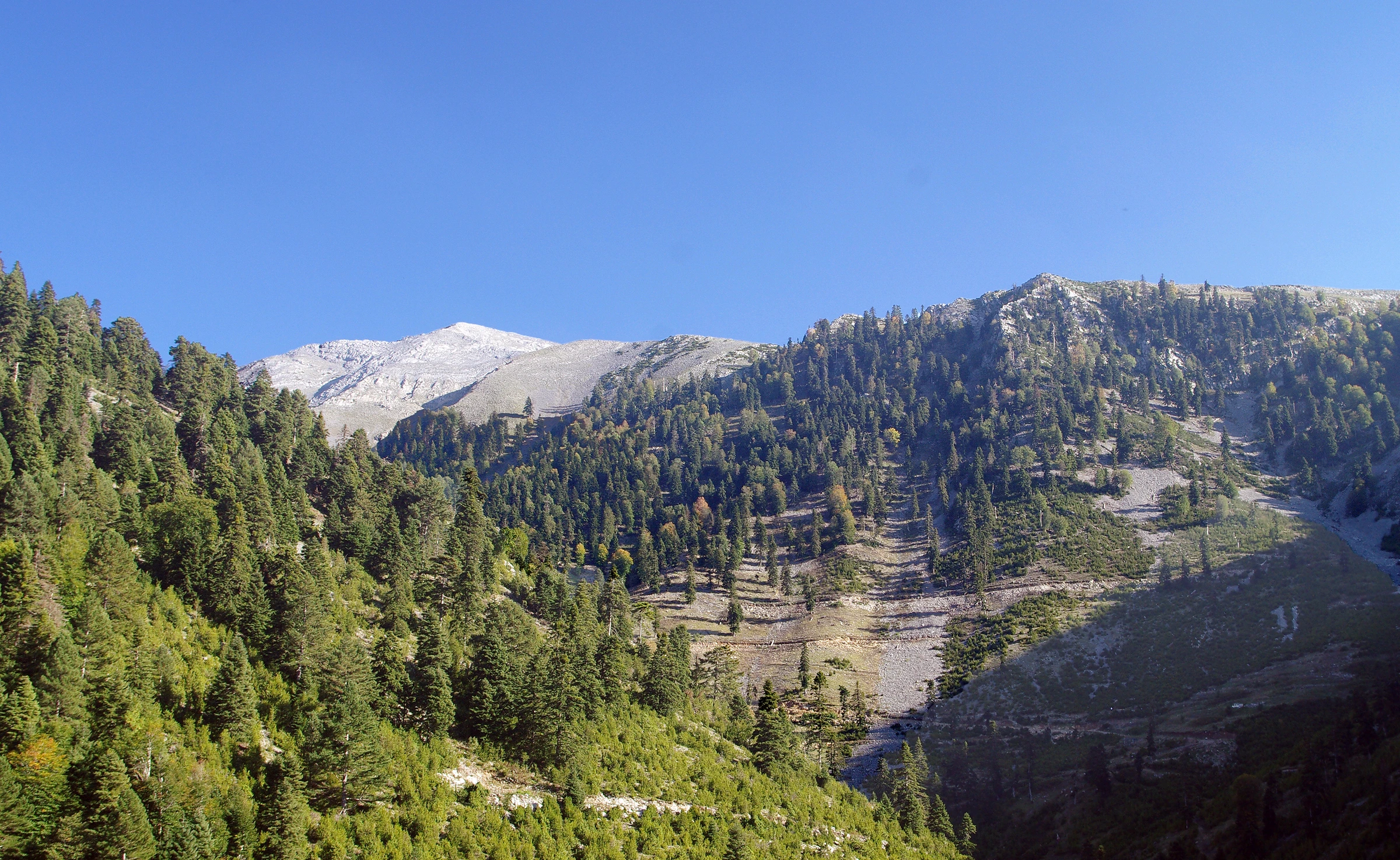
Rocky summits above Çokran, forested slopes and mountain scenery connecting two provinces. Start exploring Düldül.
 DÜLDÜL
FROM ÇOKRAN TO THE SUMMITS
Mount Düldül is not confined to Osmaniye / Düziçi; it also extends into Kahramanmaraş / Onikişubat. This guide’s main location is Kahramanmaraş / Onikişubat, around Çokran neighbourhood. Its different summits connect the geography of both provinces.
This independent cultural and travel guide is not an official municipal or cable car operator website. Plan around current local conditions and explore higher terrain with a guide suited to your experience.
Official information on Kahramanmaraş’s mountains ↗Kaya Düldül, also known as Eğri Düldül, is an important summit at 2,110 metres. It and Toprak Düldül (2,030 m) lie within Çokran neighbourhood in the Onikişubat district of Kahramanmaraş.
Beşik Düldülü (Beşikdüldül), the highest point at 2,448 metres above sea level, lies on the northeastern boundaries of Düziçi district in Osmaniye. The other high points named Gökçe and Kefen are also on the Osmaniye side, near Berke Dam.
Things to Do
Enjoy the views and take photographs; plan your day around weather, access rules and your experience.
Choose open, safe routes with local guidance. Do not assume every summit trail is marked or easy.
Watch the light on rocky ridges and forested slopes. Keep well away from cliff edges.
Notice how plants change with altitude. Leave plants undisturbed and give wildlife space.
Explore the Onikişubat / Çokran area according to local conditions. Plan separate access for visits on the Düziçi side.
VIEWS OF DÜLDÜL
Sourced archival photographs of Mount Düldül and approved visitor contributions. Images do not show current road or facility conditions. Tap to enlarge.
DÜLDÜL
Administrator and approved visitor videos of Mount Düldül, with the newest additions first.
Video previews connect to YouTube or Google when loaded. Videos do not autoplay. The provider may process device and connection information. If playback is restricted, watch at the source.
Getting Here
The main location is Çokran neighbourhood, Onikişubat, Kahramanmaraş. Use this area when planning for Kaya Düldül (Eğri Düldül) and Toprak Düldül; confirm the trailhead and final approach with local guides. Plan a separate route for Beşik Düldülü and the cable car on the Osmaniye / Düziçi side. A map search does not guarantee vehicle access to a summit.
Get directions ↗Bring water, suitable clothing and a charged phone. Follow forest fire notices. In an emergency call 112.
DÜLDÜL
The municipality’s project page describes eight-person cabins and an approximately 17-minute journey. These are project details, not a guarantee of service, waiting time or travel duration. Ask the operator about current opening, maintenance, weather interruptions, fares and accessibility.
Current operating dates and fares could not be verified during our check on 28 September 2026. Contact Düziçi Municipality or the operator before travelling. The project page does not guarantee daily service.
Municipal cable car project page ↗STORIES FROM THE MOUNTAIN
Your experience can help the next visitor.
Reviews are shown in their original languages.
Amanos Dağlarının doğu uzantısında yer alan Kahramanmaraş sınırlarındaki Düldül Dağı, doğal faunası ve florasıyla sonbaharda adeta görsel şölen sunuyor.
Bestami C.DÜLDÜL DAĞI
Mount Düldül extends across the Kahramanmaraş / Onikişubat and Osmaniye / Düziçi sides. This guide focuses on Çokran in Onikişubat. Kaya Düldül (2,110 m), Toprak Düldül (2,030 m) and Beşik Düldülü on the Düziçi side (2,448 m) are described separately.
Current operating dates and fares could not be verified during our check on 28 September 2026. Contact Düziçi Municipality or the operator before travelling. The project page does not guarantee daily service.
The map link searches for Çokran neighbourhood; it does not recommend driving to a summit. Confirm road access, vehicle suitability and your trailhead locally.