


Kahramanmaraş side (Onikişubat)
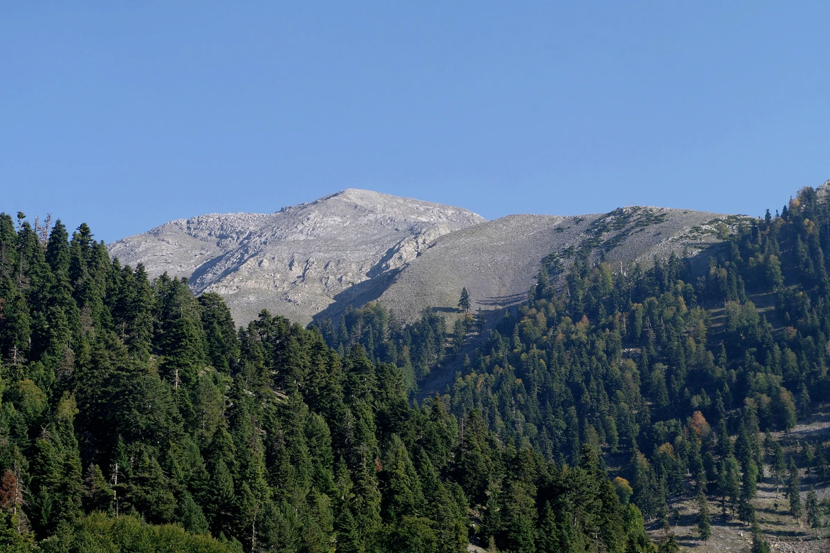
Kaya Düldül, also known as Eğri Düldül, is an important summit at 2,110 metres. It and Toprak Düldül (2,030 m) lie within Çokran neighbourhood in the Onikişubat district of Kahramanmaraş.
 DÜLDÜLD A Ğ I
DÜLDÜL DAĞI
Mount Düldül is not confined to Osmaniye / Düziçi; it also extends into Kahramanmaraş / Onikişubat. This guide’s main location is Kahramanmaraş / Onikişubat, around Çokran neighbourhood. Its different summits connect the geography of both provinces.
Kaya Düldül, also known as Eğri Düldül, is an important summit at 2,110 metres. It and Toprak Düldül (2,030 m) lie within Çokran neighbourhood in the Onikişubat district of Kahramanmaraş.
Beşik Düldülü (Beşikdüldül), the highest point at 2,448 metres above sea level, lies on the northeastern boundaries of Düziçi district in Osmaniye. The other high points named Gökçe and Kefen are also on the Osmaniye side, near Berke Dam.
This independent cultural and travel guide is not an official municipal or cable car operator website. Plan around current local conditions and explore higher terrain with a guide suited to your experience.
Official information on Kahramanmaraş’s mountains ↗
Independent cultural and travel guide • Not an official operator website.